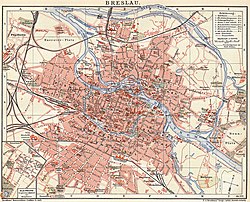
Plan von Breslau und den ehemaligen Festungswerken
Autor:
Friedrich Gottlob Endler (1763–1830)
Shortlink:
Zdroj:
Formát:
6367 x 4855 Pixel (75110021 Bytes)
Popis:
Map of Breslau (Wrocław) in about 1807, showing also the fortifications as they stood before the siege of 1806, and which had already been destroyed on order of the French military when the map was drawn. Engraved by Friedrich Gottlob Endler.
The north direction of this map is skewed by about 30° anti-clockwise from the vertical line, so that the latter shows north-north-east -- see the arrow in the lower right corner showing north
The north direction of this map is skewed by about 30° anti-clockwise from the vertical line, so that the latter shows north-north-east -- see the arrow in the lower right corner showing north
Licence:
Public domain
Credit:
Supplement to "Breslau. Ein Wegweiser für Fremde und Einheimische" von Karl Christof Nencke, verlegt von Johann Friedrich Korn dem Älteren, Breslau, 1808
Relevantní obrázky



(c) Bundesarchiv, Bild 183-1989-1120-502 / CC-BY-SA 3.0


(c) Diego Delso, CC BY-SA 4.0


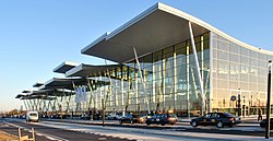


(c) Arne Müseler / www.arne-mueseler.com, CC BY-SA 3.0 de
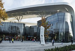



Relevantní články
Vratislav (město)Vratislav je město v jihozápadním Polsku, sídlo Dolnoslezského vojvodství a historické hlavní město Slezska. Leží ve Slezské nížině na Odře a jejích přítocích. Žije zde přibližně 673 tisíc obyvatel a jedná se tak o největší město celého Slezska a třetí největší město v Polsku. .. pokračovat ve čtení
